
From orbit
to ocean floor.
One platform for the whole water column — satellite bathymetry, explainable multibeam to S-44, topography and forecasting.
Coast to full depth,
in one place.
SDB owns the shallows, multibeam owns the vessel-reachable deep, and both emit the same S-44 surface. No stitching between desktop tools.
Bathymetry
Turn free Sentinel-2 imagery into a depth map — no vessel required. Delivered as a Cloud-Optimized GeoTIFF, auto-calibrated to NASA ICESat-2 where coverage exists.
NAVTopo
The on-land counterpart — free Copernicus GLO-30 into shaded relief, hypsometric tint and adaptive contour lines, from a 1 m floor to 50 m in high relief.
Multibeam · S-44
Ingest .kmall / .s7k / GSF, clean with explainable AI, grid with CUBE, and produce an IHO S-44 compliance certificate — web-native and collaborative.
Forecast
Copernicus Marine wave, current and wind with GO / NO-GO operability windows for personnel transfer, marine survey, heavy lift and diving / ROV.
Every colour
is a fixed depth.
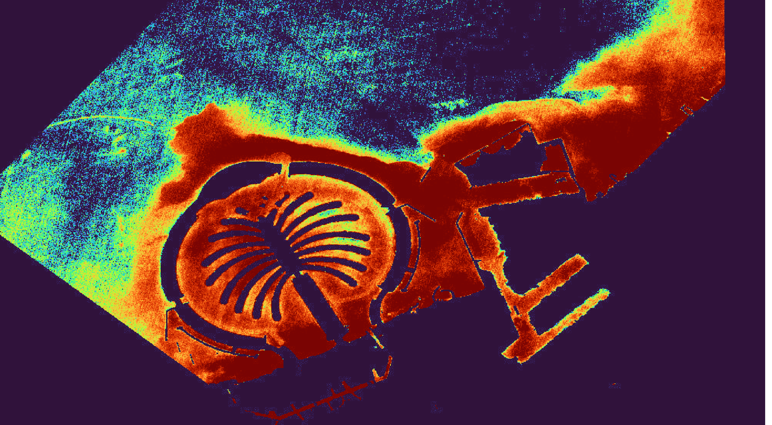
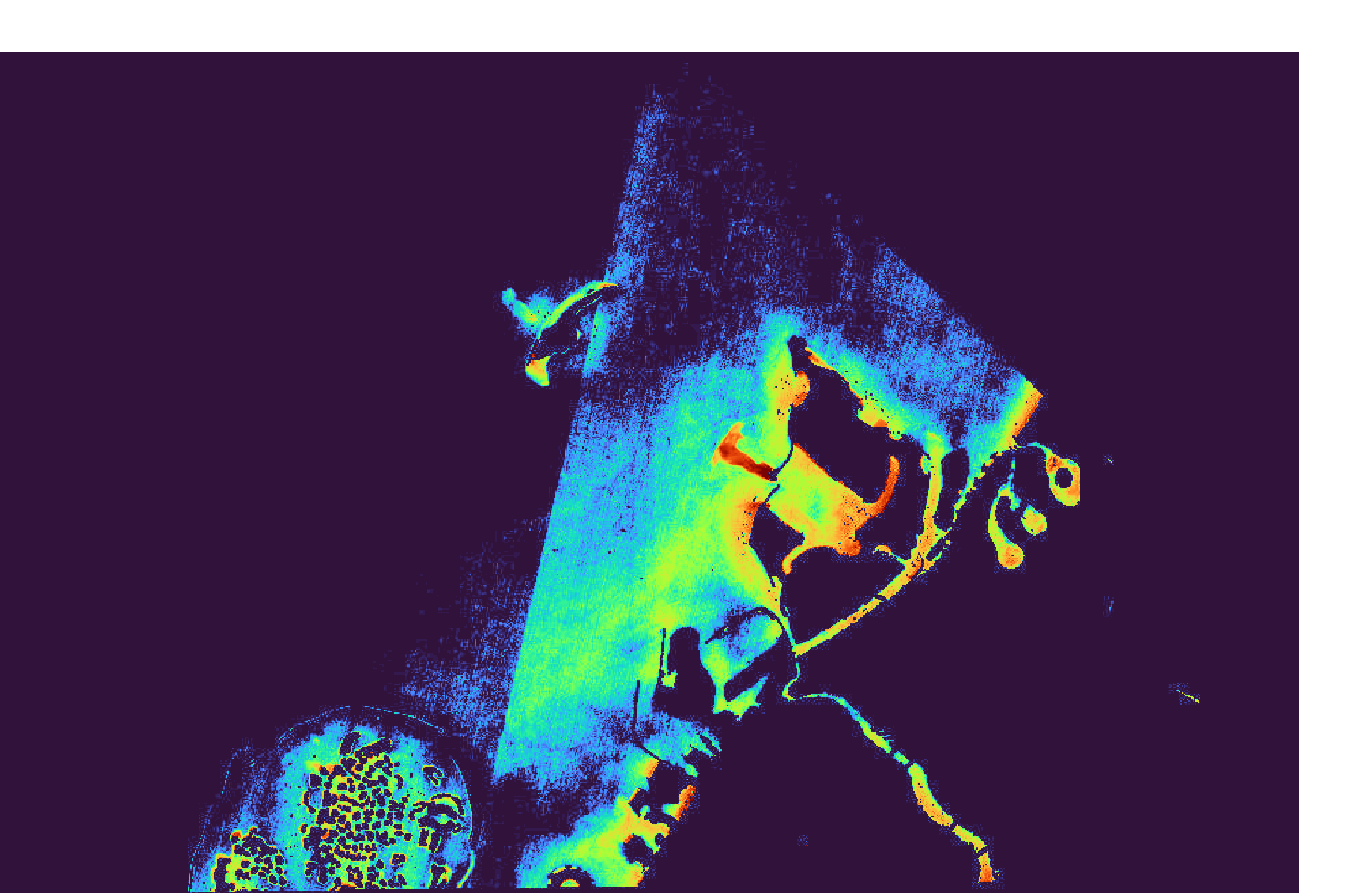
One absolute depth-to-colour scale means a hue always means the same depth — comparable across every scene, every survey, every year. Land is masked, failed scenes raise a real error, and nothing is faked.
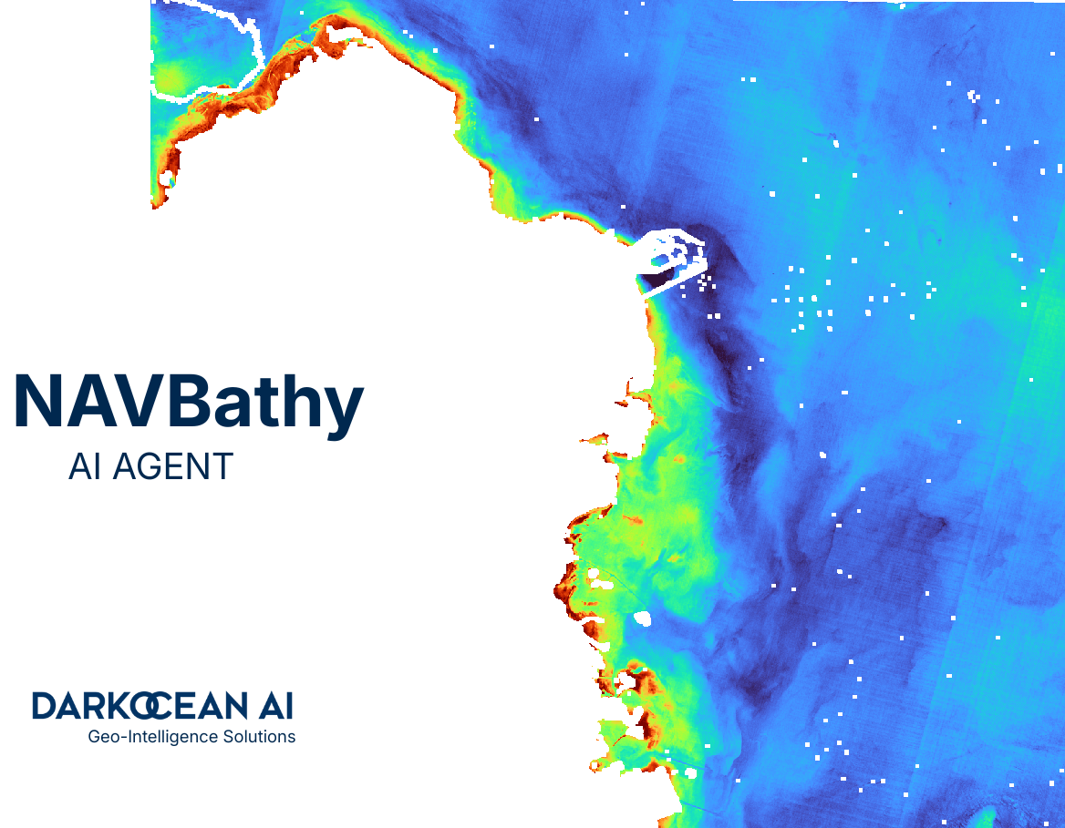
Scout. Process. Deliver.
Scout
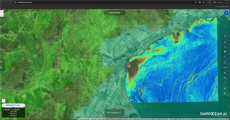
Draw an area of interest. NAVBathy finds the best Sentinel-2 scenes via STAC — Earth Search primary, Planetary Computer fallback — filtered by cloud cover and date.
Process
Log-ratio and multiband SDB run on raw bands, water-masked with NDWI, then auto-calibrated to ICESat-2 ATL24 with robust Theil-Sen regression into absolute metres.
Deliver
Download a Cloud-Optimized GeoTIFF, XYZ points, isobath contours or a 3D mesh — or push straight to a project and the shared S-44 surface.
Cleaning you
can explain.
An XGBoost classifier scores every sounding; SHAP gives a signed reason for each decision. Confident points auto-resolve — the uncertain middle becomes review cases. Possible seabed features are never auto-rejected.
P(noise) < 0.20 — clean seabed, resolved automatically.
Possible real feature — flagged and retained. Safety of navigation.
P(noise) > 0.80 — logged, with SHAP rationale.
| Order | 1a | a = 0.50 · b = 0.013 |
| TVU @ 95% | √(a² + (b·d)²) | within limit |
| Nodes passing | 98.7% | coverage 100% |
| Surface | CUBE | BAG 1.6.2 |
Real coastlines, real depth.
1,000 credits
on the house.
No vessel, no licence server, no quote. Scout and process your first coastlines today, then scale on a simple credit model.
Create free account →Bathymetry,
by API.
Scout, process and pull depth data programmatically. Bearer keys, credit-metered, rate-limited.
Read the API docs →POST /api/navbathy/scout
Authorization: Bearer nav_live_…
# Process to a depth GeoTIFF
POST /api/navbathy/process
→ { "job_id": "…", "status": "queued" }
GET /api/navbathy/jobs/:id
→ { "tiff_url": "…", "credits_remaining": 950 }
From the blog.
Field notes on satellite bathymetry, S-44 compliance and ocean intelligence.